Outdoor Living In Sandy Springs Along The River
February 26, 2026
February 26, 2026
What if your evening walk ended on a quiet river overlook while paddleboards drifted by below? If you’re drawn to water, trees, and easy weekend plans, Sandy Springs makes outdoor living part of everyday life. In this guide, you’ll learn where to launch, which trails to use, what’s new along the Chattahoochee, and how to pick a home that fits your routine. Let’s dive in.
Sandy Springs hugs about 22 linear miles of the Chattahoochee River, which shapes how residents relax and play. The river corridor ties together city parks, national recreation lands, and neighborhood greenways, creating a network for paddling, running, cycling, and family time. You’ll see this most clearly at Morgan Falls and at nearby units of the Chattahoochee River National Recreation Area.
City and park investments continue to improve access, from shoreline work to new trails and concessions. For buyers, those upgrades translate to simpler weekends, more walkable options, and strong community use of the outdoors.
If you want easy on-water time, start at Morgan Falls Overlook Park. The park anchors local river life with porch swings, a playground, picnic spots, and a floating dock that serves as a public put-in for kayaks and SUPs. It’s a favorite for short, calm paddles, quick fishing sessions, and family visits.
You don’t need to own gear to get on the water. The city’s on-site paddle concession, Murphs Surf Paddle Shack, offers kayak and SUP rentals and teaches classes at Morgan Falls. That convenience removes storage and transport hurdles, which is a big win if you plan to paddle often but prefer low-maintenance living.
For full-day paddles or different scenery, explore the discrete units of the Chattahoochee River National Recreation Area. Many of these sites include trails, picnic areas, and water access for canoes and kayaks. A CRNRA park pass is required for National Park Service units. Use the NPS brochure to review unit maps, launch rules, and any advisories before you head out.
Common patterns include starting at Morgan Falls for a short family-friendly trip or using CRNRA launches like Island Ford, Powers Island, or Paces Mill for longer floats. If you are planning a new route, check current conditions and confirm where to put in and take out.
Morgan Falls Dam creates Bull Sluice Lake upstream and influences river levels below. Operations at the hydro facility can change paddling conditions and shoreline access at certain times. For background on the site and its effect on flows, review the NPS page on Morgan Falls Dam. When you arrive at the park, follow posted guidance, watch the water, and use improved shoreline access points where available.
The City’s Springway Trail Master Plan is designed to link neighborhoods to the river. The first 1.88-mile segment, featuring a boardwalk across Orkin Lake and a paved multi-use path, opened in spring 2025. The Springway opening announcement details how this segment connects Morgan Falls Overlook Park to Roswell Road and nearby residential pockets. If walkability to the river is high on your list, this trail is a key upgrade.
The Abernathy Greenway is a linear park known for its Playable Art Park, where large-scale sculptures double as play features. It’s an easy place for daily movement, dog walks, and kid-friendly time outside.
For shaded forest loops and a slower pace, Lost Corner Preserve offers trails, a community garden, and historic features on 24 acres. It’s a go-to for quick nature breaks without leaving the city.
Cochran Shoals, part of the CRNRA, is well known for its flat gravel paths that support running, walking, and cycling. Combine these loops with the Springway and city greenways to vary your daily routine with low-traffic, off-street routes.
Outdoor living in Sandy Springs also means a strong civic calendar. The City Springs campus and Heritage Sandy Springs host markets, concerts, and seasonal gatherings. Check Heritage Sandy Springs for event and program highlights that round out your weekend plans.
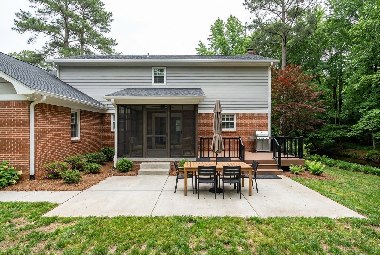
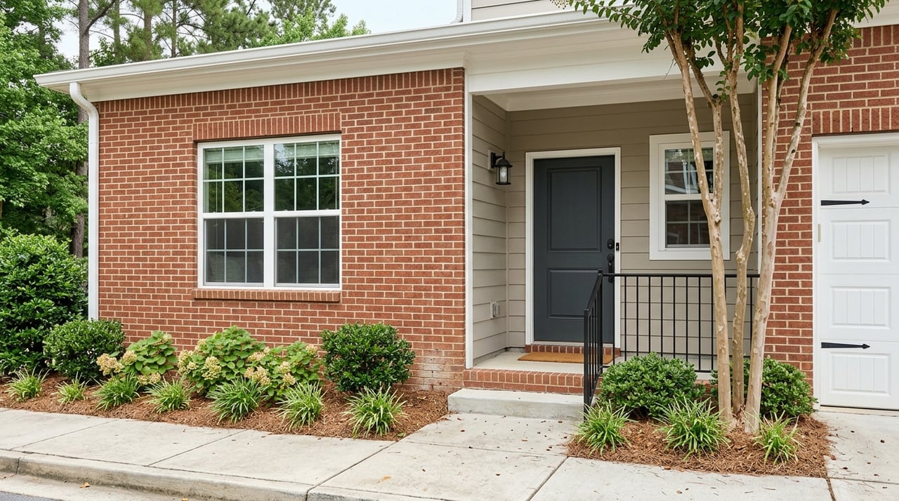
If frequent paddling or private docking sits at the top of your list, target riverfront neighborhoods often referenced locally as Rivergate, Huntcliff, River Chase, and similar enclaves along the Chattahoochee. These areas tend to feature large-lot homes and, in some cases, private or deeded access. Inventory is limited and premium, so expect to monitor the market closely.
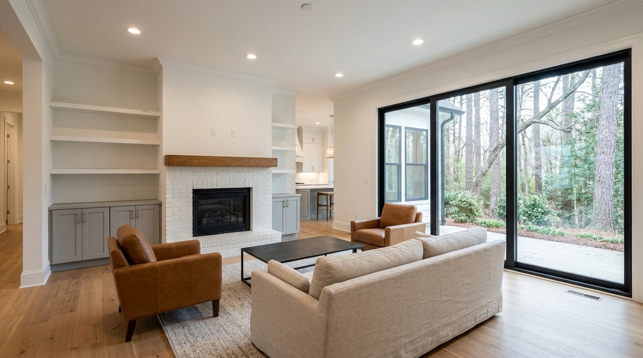
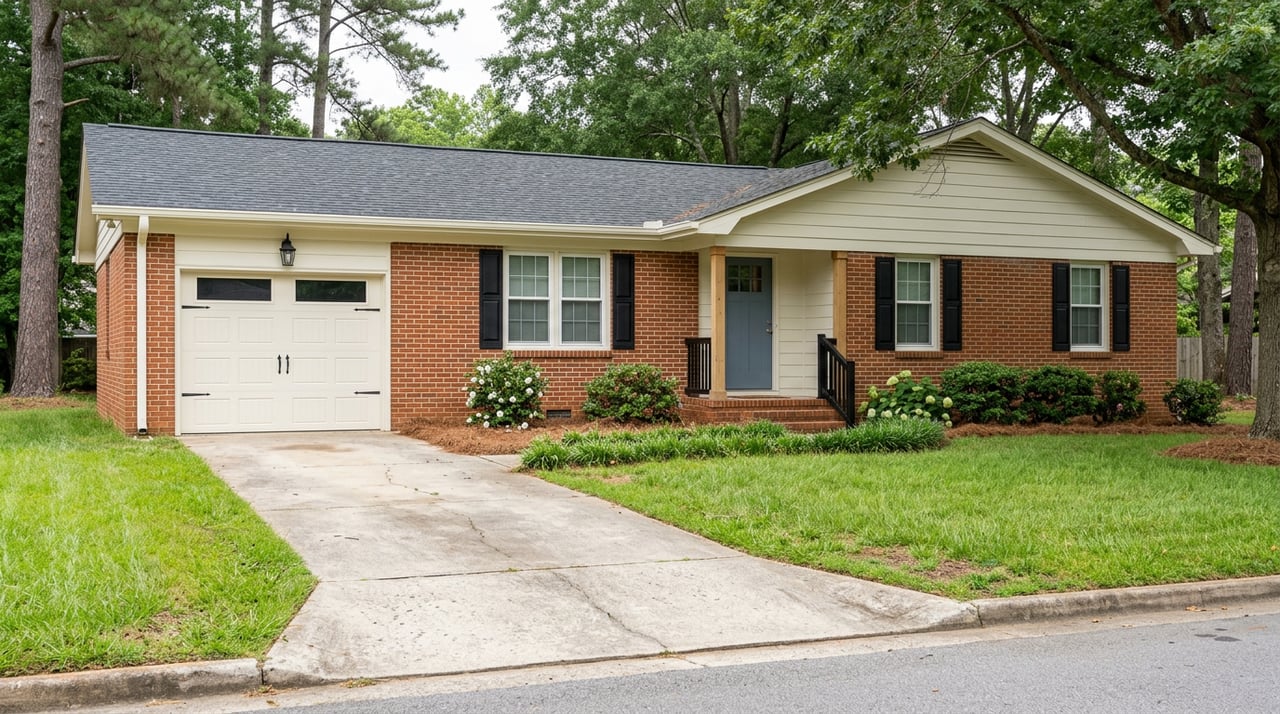
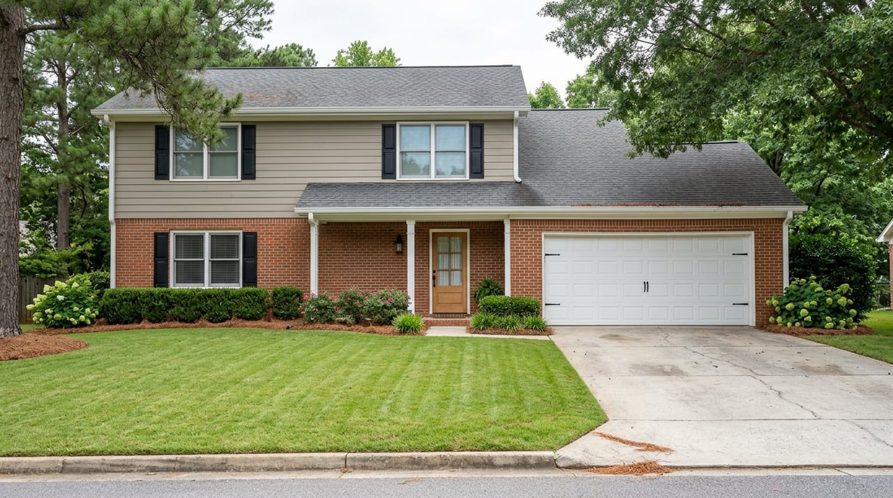
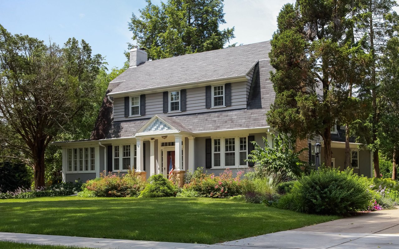
Many mid to late 20th-century neighborhoods offer generous lots, mature trees, and quick drives to preserves like Lost Corner and Big Trees. This setup suits you if you value a private yard and shaded streets, with parks and trails nearby rather than at your doorstep.
If you prefer walk-to-dinner convenience and programmed outdoor spaces, look near City Springs and Perimeter Center. You will trade private lawns for access to restaurants, events, and green spaces, plus quick jumps to the river corridor for casual weekend outings.
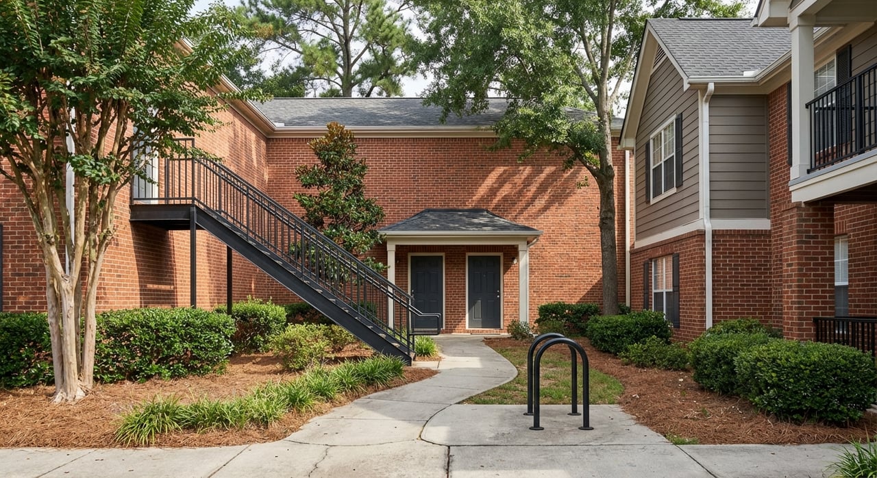
Pockets of newer construction and active adult options line major corridors and MARTA-adjacent areas. These can offer a modern, low-maintenance base while keeping you within a short drive of the Springway, Morgan Falls, and CRNRA units.
For live snapshots of what is on the market today, review current Sandy Springs listings. Use these as a starting point, then refine by neighborhood, proximity to trailheads, and your preferred style of outdoor time.
Riverfront and near-river homes can involve specific due diligence. Review the FEMA Flood Map Service Center for flood zones, ask about historical flooding and insurance, and confirm any local requirements. City projects and the dam’s regulated flows shape shoreline conditions, so factor that context into your evaluation.
Listings that mention “river access” can mean different things: a private dock, a neighborhood easement, or simply proximity to a public launch. Verify the specifics with the seller and your agent. For public parcels and unit rules, use the CRNRA park brochure to confirm where you can legally put in, park, and hike.
Use this quick filter while comparing homes:
If the river is central to your lifestyle, your home search should reflect it. We can help you weigh tradeoffs between private access and public launches, map walkable routes to trailheads, and time the market for the right property. For a focused plan and on-the-ground guidance, connect with the Christine Bradley Team. We will align your wish list with real inventory and help you move with confidence.
Our team’s unprecedented professionalism, skill, and attention to detail has allowed us to set sales records for the past 30 years. We will ensure your buying or selling experience exceeds your expectations.
Get In Touch With Our Team To Learn More
ADDRESS 3290 Northside Parkway Ste. 200 Northwest Atlanta, GA 30327